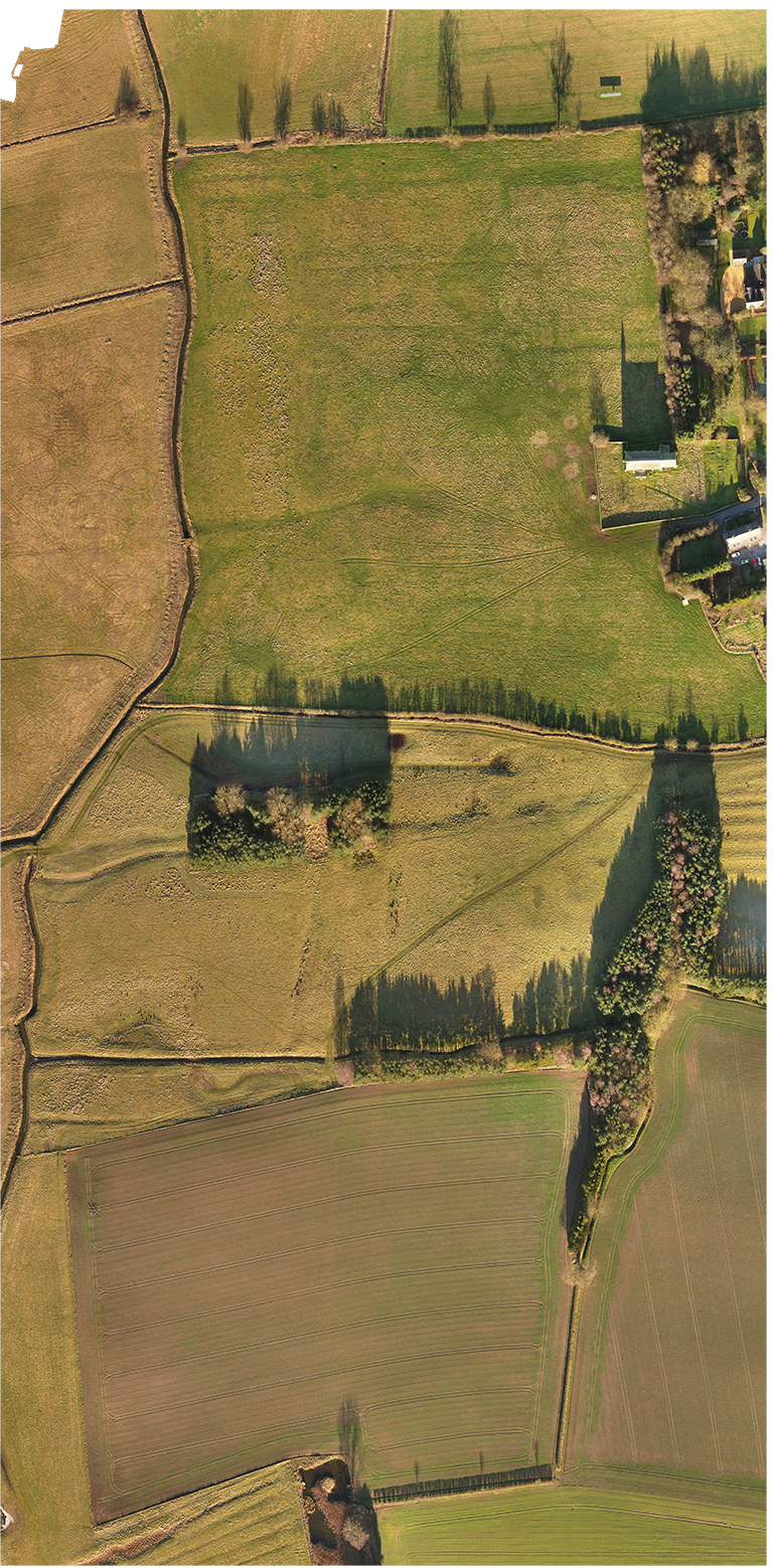
Ellerton was a small priory and part of the Gilbertine Order, the only uniquely British order of monks. It was founded in 1203.
The priory is particularly evocative as it was used as the retirement accommodation for those of the order who were too old and infirm to continue their pastoral duties. One can easily imagine this quiet backwater as the last home of the men of God who had dedicated their lives to service.
Despite its purpose the priory fell with the rest of the abbeys and priories of England in the reformation and the buildings and lands were gradually reclaimed by nature.
From the air there is little to see, and on the ground on ly the heavily restored church is visible, but the elevation data reveals banking, fish ponds and the foundations of the crude accommodation offered to the retired monks.
A beautiful site in an evocative and haunting location.
Find out more about Ellerton Priory here. www.ellertonpriory.co.uk/
|

|
