Yorkshire Archaeological Aerial Mapping
  • Survey Library
    • Medieval Castles & Villages >
      • Middleham Old Castle
      • Marton cum Grafton
      • Wharram Percy
      • Lead Chapel And DMV
      • East Tanfield DMV
      • North Deighton Motte & Bailey
      • Topcliffe Castle
    • Bronze Age Barrows & Enclosures >
      • Kipling House Farm
    • Henges and Barrows >
      • Nunwick Henge
      • Thornborough Henges
      • Cana Barn Henge
      • Hutton Moor Henge
      • Langthorpe Earthworks
    • Abbeys and Islands >
      • Jervaulx Abbey
      • Ellerton Priory
      • Little Ouseburn Tunulii
      • St. Cuthberts Island
    • Iron Age & Roman >
      • Stanwick Iron Age Fortifications
      • Newton Kyme Roman Fort
    • Battlefields >
      • Marston Moor
      • Agincourt Battlefield
  • Home
  • Our Services
  • Jon Kenny
  • Contact
  • Calendar
  • Droning on in our Blog

Nunwick Henge

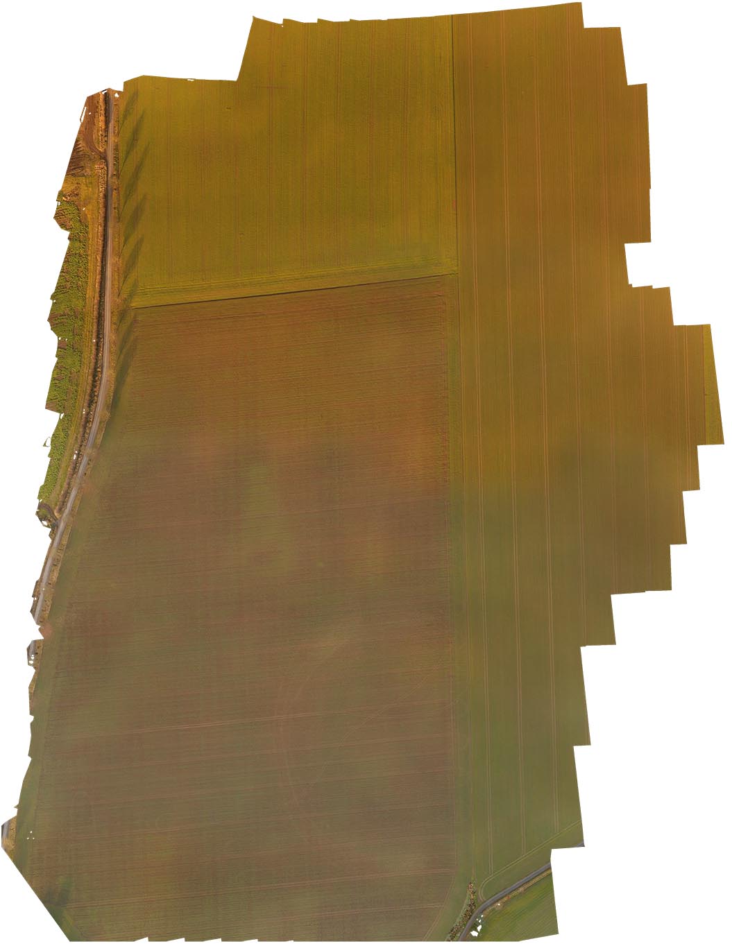
Nunwick is the third of the Henges forming the alignment from the Devils arrows in Boroughbridge up to the great henge alignment at Thornborough.
There is no sign of the henge on the ground or from the air, indeed it was only rediscovered post world war 2 from crop marks spotted from an aerial surveys,.

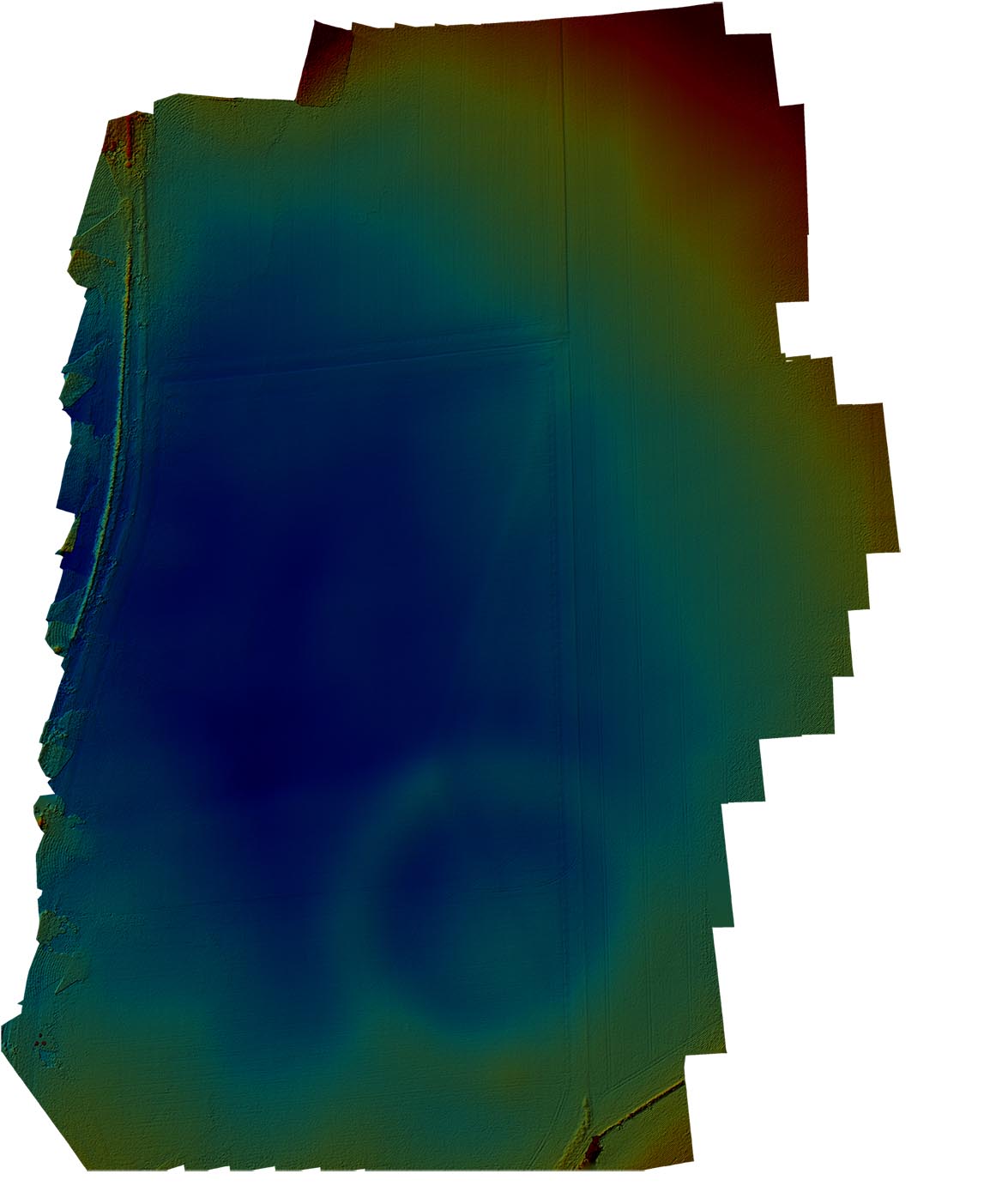
However, despite the face the earthworks have totally vanished the ground mapping process reveals not only the location of the henge but can interpret enough detail to show the banks, the ditches and the entryways of this remarkable Bronze age temple.
​
Despite the almost total destruction of the henge YAA can still reveal lost features in our landscape.


Click the button below for the HD Aerial Shot
CLICK HERE FOR AN HD ORTHOMOSAIC IMAGE AS A .TIFF FILE
Click the button below for the
​Elevation projection
CLICK HERE FOR AN ELEVATION PROJECTION FILE AS A .TIFF
Click below for the KML files for
​Google Earth Import
KML Files

Picture
Picture
Powered by Create your own unique website with customizable templates.
  • Survey Library
    • Medieval Castles & Villages >
      • Middleham Old Castle
      • Marton cum Grafton
      • Wharram Percy
      • Lead Chapel And DMV
      • East Tanfield DMV
      • North Deighton Motte & Bailey
      • Topcliffe Castle
    • Bronze Age Barrows & Enclosures >
      • Kipling House Farm
    • Henges and Barrows >
      • Nunwick Henge
      • Thornborough Henges
      • Cana Barn Henge
      • Hutton Moor Henge
      • Langthorpe Earthworks
    • Abbeys and Islands >
      • Jervaulx Abbey
      • Ellerton Priory
      • Little Ouseburn Tunulii
      • St. Cuthberts Island
    • Iron Age & Roman >
      • Stanwick Iron Age Fortifications
      • Newton Kyme Roman Fort
    • Battlefields >
      • Marston Moor
      • Agincourt Battlefield
  • Home
  • Our Services
  • Jon Kenny
  • Contact
  • Calendar
  • Droning on in our Blog