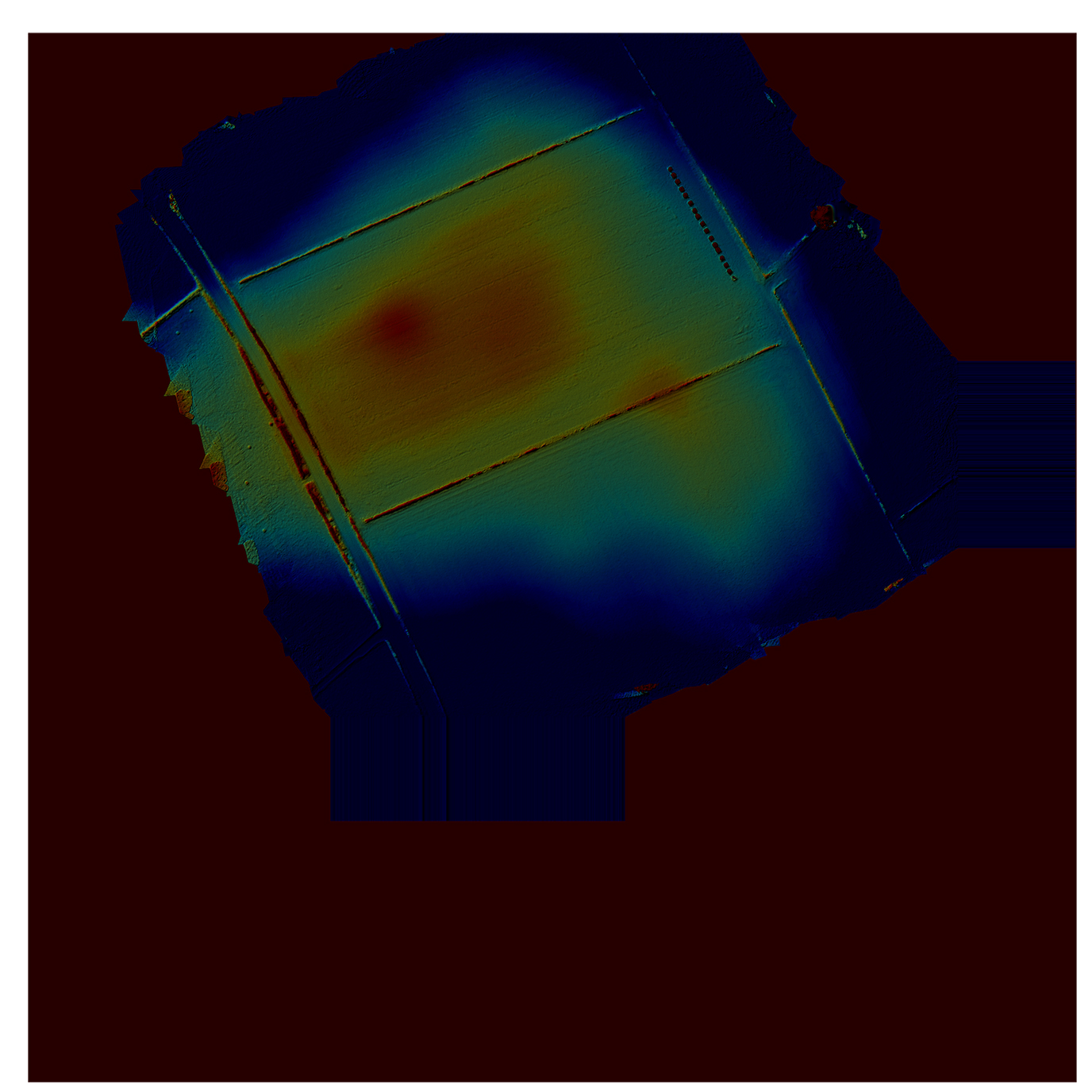
On the original OS maps there is marked, up against the Roman Road (now the B6525) a round barrow, presumably Bronze Age in origin.
There is a very faint rise in the field on physical examination, and from the air there is little to mark the spot
However, the sophisticated ground mapping software developed by YAA allows the site to be pinpointed and surveys without ever disturbing the field or crops, and allows the site to be permanently recorded.

|
|
