Lead chapel is more famous for its association with the associated Towton/Saxton battlefield than as a structure in its own right.
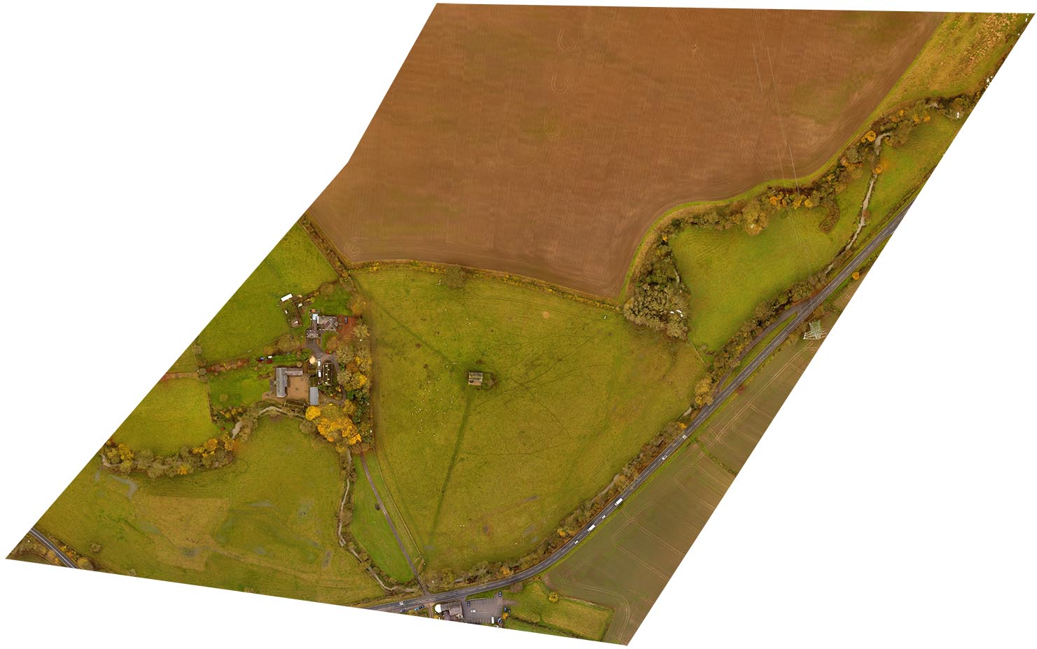
Although no longer a functioning place of worship this beautiful medieval chapel projects an air of careworn age, standing as it does in a sheep field, surrounded by nothing more than mysterious and impossible to interpret lumps and bumps in the grassy ground.
From the air however, the ground mapping software reveals the true nature of these lumps and bums. Revealed is a medieval hamlet complete with crofts, tofts, enclosures barns and a manorial complex, now all gone, leaving just the chapel.
There is a story that Edward, earl of March, the leader of the Yorkist faction stayed in the village the night before the great battle of Towton on March 29th 1461. If that is true then the ground mapping software is revealing the very building that he sheltered in.
The chapel is open to the public, and its history and the course of the battle are well signposted around the area.
|

|
