Everyone knows there is a Roman Fort on the river heading into Newton Kyme.
YAAMAPPING used the site to test their bespoke ground mapping software in the winter of 2016.
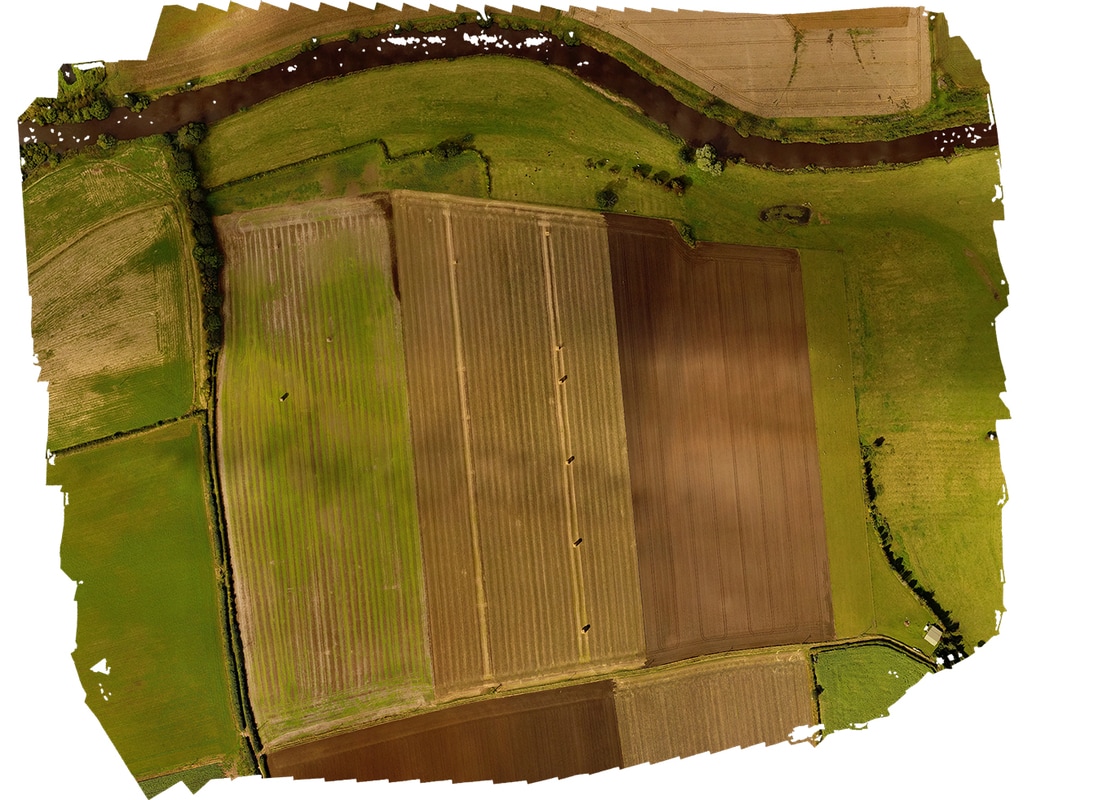
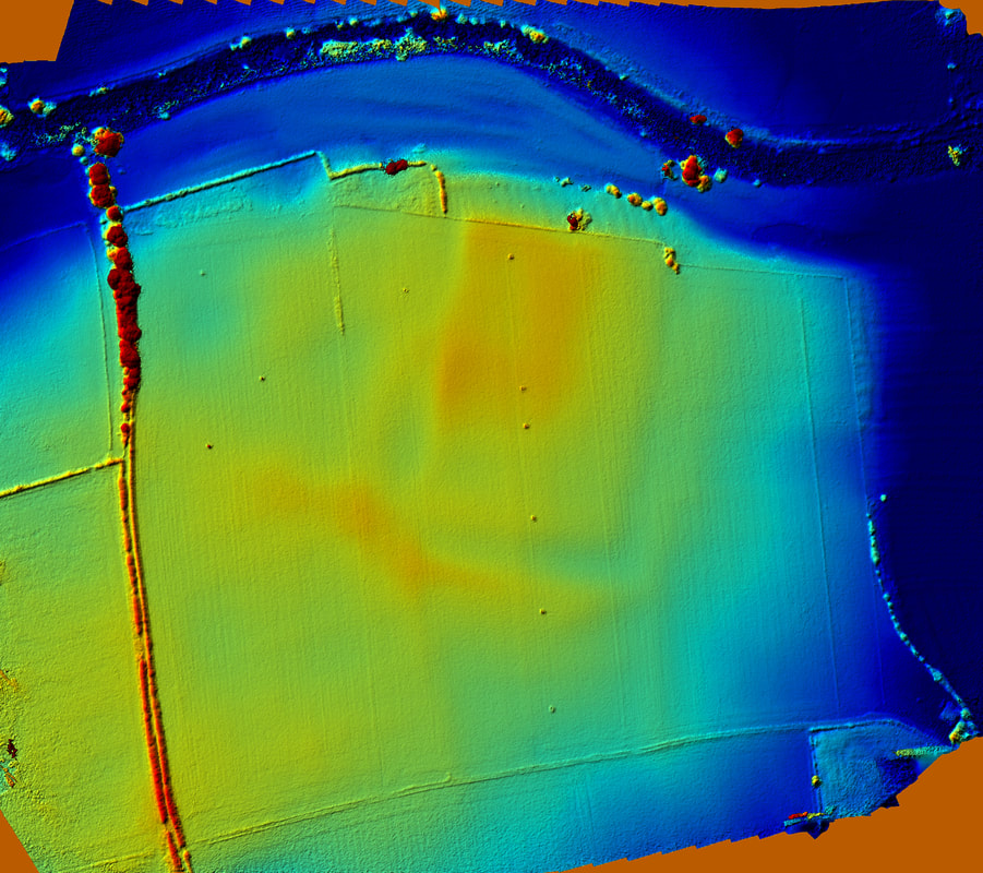
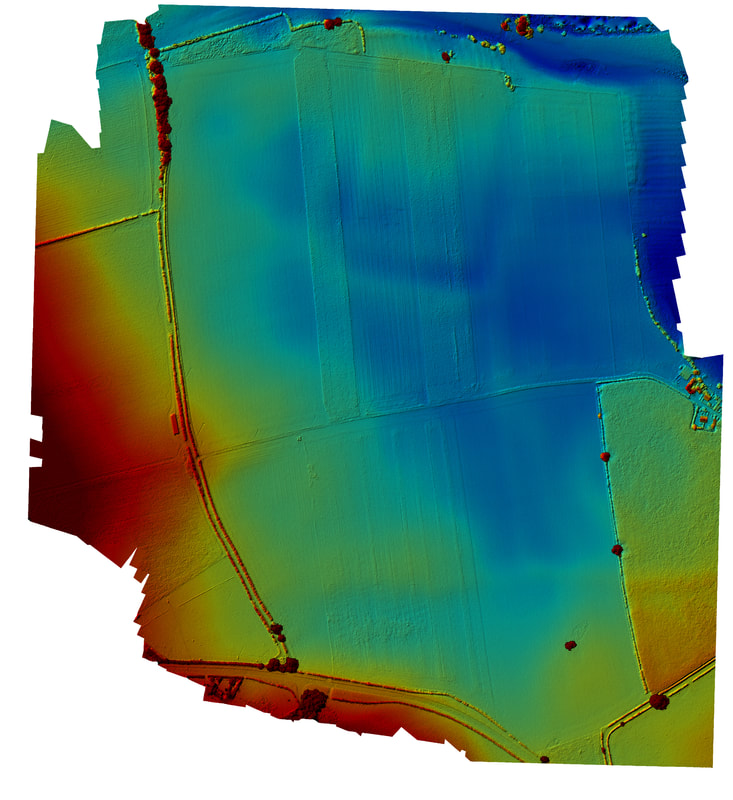
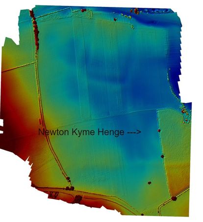
This is the result of the first survey: for the first time not only is the fort(let?) revealed in all its glory but the extention or replacement fort to the south is clearly visible.
Flight time? 12 minutes.
How long would it take your group to detail survey such a feature?
For fast, detailed and interactive 3D ground mapping services, free to community groups, contact YAA mapping now!
|
Click the button below for the HD Aerial Shot
|
Click the button below for the
Elevation projection |
Click below for the KML files for
Google Earth Import |


