|
Loads of interest in our recent CBA article, offers of talks and lots of questions. On top of that we are still working with the local groups we have been in contact with. A new issue has reared its head: the first site we tried ground Mapping on was the Newton Kyme Roman fort: here is the result. 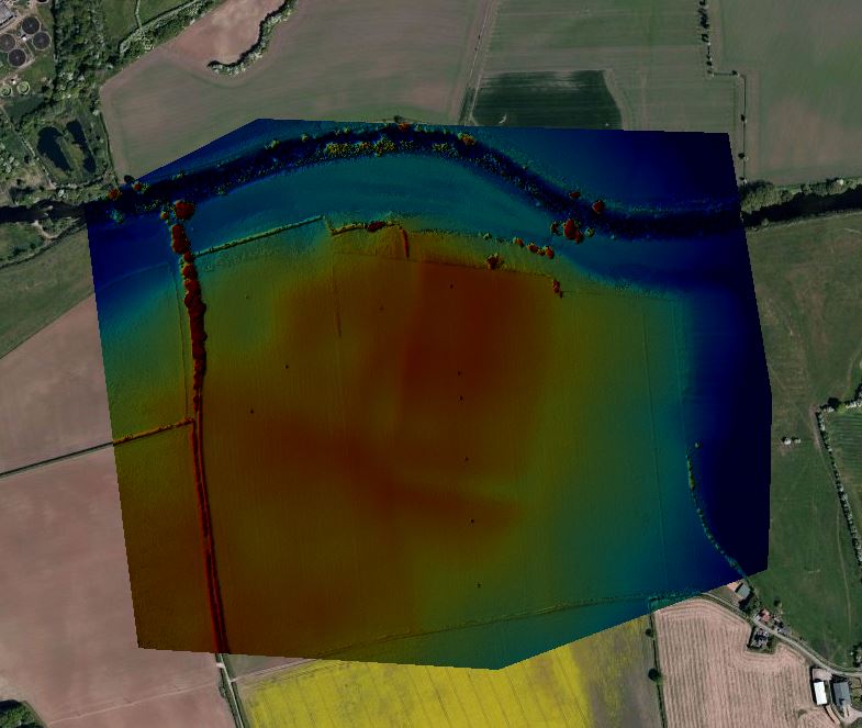 As you can see its impressive (first ever result, remember!) clearly showing the banks and ditches of the forts defenses. So, this weekend, just ahead of the Tour de Yorkshire, we tried a new survey method: designed to offer more detail, more resolution and refine the interior features of the fortlet. Heres the result: 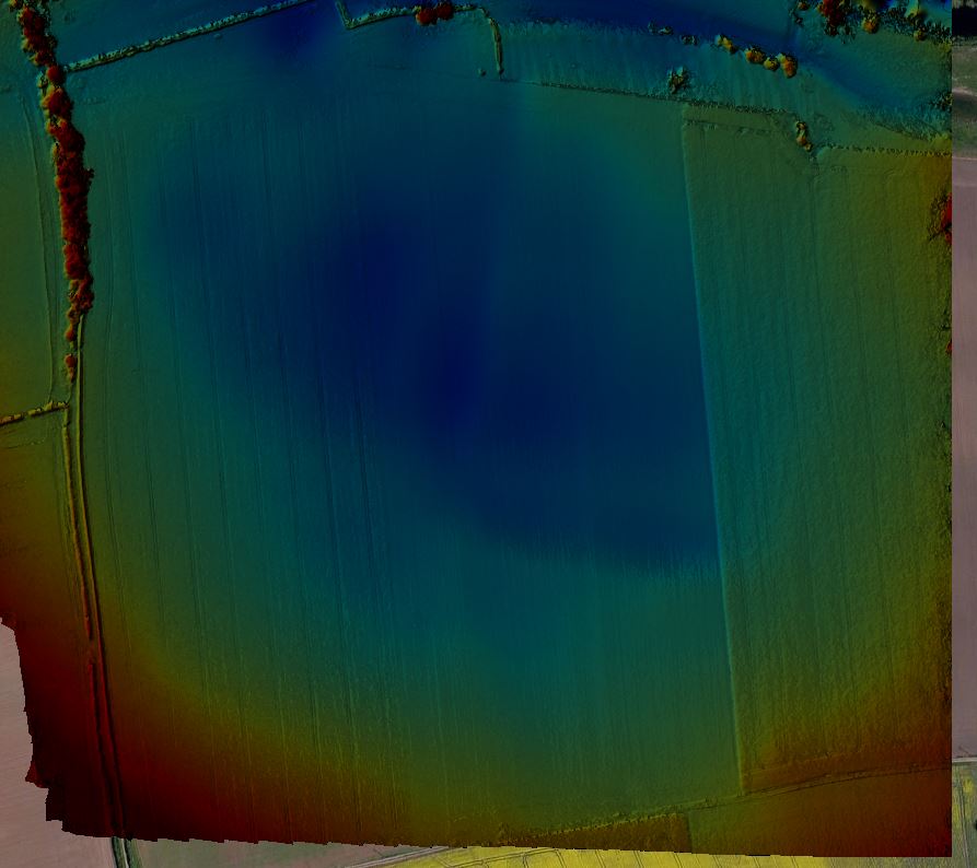 Shockingly worse. Why? The answer lies in the field to the right: rapeseed! It appears that whilst grass emphasizes the minor elevation changes we are looking to pick up (see Middleham Old Castle in the Survey Library above) Rapeseed obscures the features totally! So, until the rapeseed is harvested those beautiful yellow fields will have to wait for their turn until late summer. As a bonus however here's a nice shot of said Rapeseed under a cloudy spring sky. There. Not so bad after all is it! 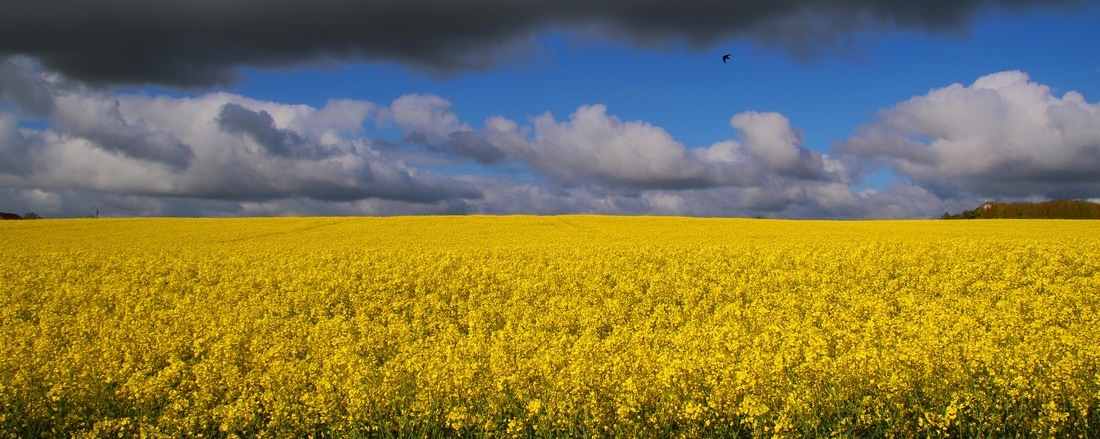
0 Comments
Nice article here from the council for British archaeology newsletter on the YAA use of drones in archaeology
http://dmtrk.net/10MV-4UPSB-E1CG9JU1F8/cr.aspx thanks to the CBA for the shout out! lots of positive responses, looking forward to working with you all! Well here we are at last. Over the long winter months Jon and I have been hard at work identifying sites that will showcase the YAA service.
Its not always been easy: a local group, on being offered a free survey to showcase their site, thought a drone in the air for 15 minutes would 'distract people from the archaeology'! Well thankfully not everyone has such views, as the amazing images produced in the Survey Library attest! Which site do we like the best? Certainly Wharram Percy showcases the potential te best, but I personally love Maiden Bower, or Topcliffe Castle, with the associated medieval manor, with its solid links into documented historical events and concluding with the sad but beautiful tomb in Beverley Minster its an evocative site begging to be explored. Next time we will be discussing the most often asked question: How are you extrapolating the elevation images? Additionally we are working on some exciting developments, including terrain sectioning across a site and true 3D mapping, with perhaps point cloud support to get your favorite site into google Sketchup. How fab would that be to showcase your project? we would love to get some more live projects mapped: keep emailing us ideas! Watch this space! |
AuthorTony Hunt is a keen local historian and gadget fan. Responsible for the operation of the site and the programming and piloting of the aircraft. The site and Tony and. YAA are not commercial in any way whatsoever. ArchivesCategories |
 RSS Feed
